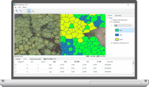
Software for analyzing forest information from drone photos.
This software includes a laser drone and a drone equipped with a general digital camera.
Both types of data can be used, and analysis can be performed from orthoimages, DSM data, etc.
Internally, AI is used to detect each tree, identify tree species, and estimate tree height, DBH, and trunk volume.
For the first time in the world, it is possible to analyze each tree in a unified manner.

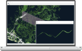
Software that creates detailed terrain and canopy maps from LiDAR drone data.
The software automatically detects ground points and also allows manual editing, including point classification.
Generated data can be used in conjunction with the forest analysis software DF Scanner.

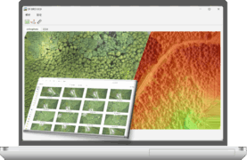
SfM processing software that automatically generates orthophotos and DSMs.
With simple operation—just specify the folder containing the images and start the process—analysis runs automatically.
The output data is optimized for use with DF Scanner.

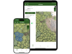
Mobile application for forest surveys on smartphones and tablets
It is compatible with both Android and iOS devices and is available as a free download.

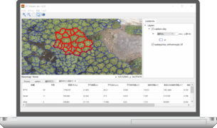
GIS software for viewing DF Scanner analysis results